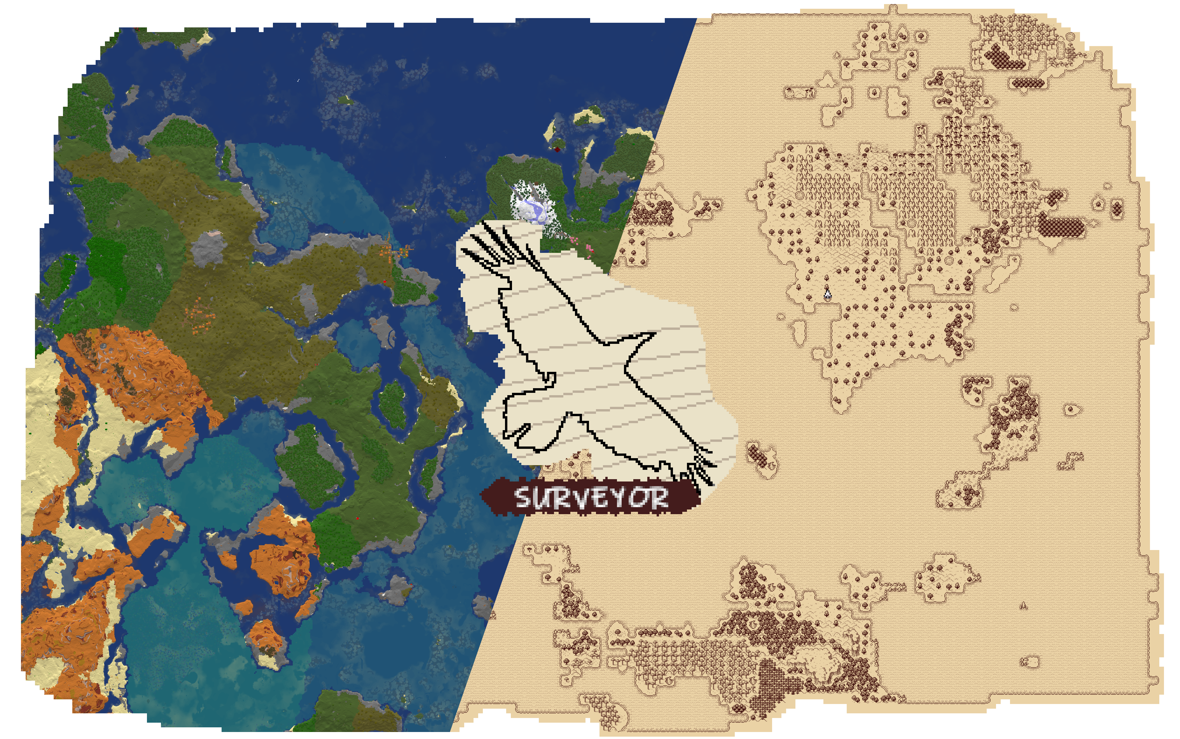
Surveyor Map Framework
Surveyor Map Framework is a universal library for developers of map-related mods in Minecraft. It provides ready-made solutions for scanning, saving, and synchronizing mapping data between players.
For Players
Important: Surveyor is a library for map mod developers. Regular players don't need to install it separately.
Commands
/surveyor— shows information about explored territory and map sharing settings/surveyor share [username]— request to share maps with another player/surveyor unshare— disable map sharing/surveyor landmarks— view all landmarks in different worlds/surveyor landmarks get [type]— list landmarks of the specified type in the current world/surveyor landmarks remove [type] [position]— remove waypoint or landmark/surveyor landmarks add [type] [position] [name]— add waypoint/surveyor landmarks global [type] [position] [name]— add global landmark
Configuration
The library offers extensive settings in the config/surveyor.toml file, allowing fine-tuning of various systems and map sharing parameters.
Features for Developers
Surveyor handles the main tasks of working with maps:
- Automatic scanning and recording of terrain, structure, and landmark data
- Real-time map sharing between players
- Synchronization of map data and landmarks when sharing
- Universal API for integration with map mods
- Efficient data storage with minimal save size increase (2-5%)
Key Data Features
- Terrain: includes information about blocks, height, biomes, light level, and water depth
- Multi-layering: support for cave and Nether maps through multiple scanning layers
- Structures: complete information about structure IDs, parts, and tags
- Landmarks: universal system for points of interest, markers, and other positional data
Technical Details
Core Concepts
- World Summary — contains all Surveyor data for a world
- Chunk Summaries — top-down representation of world terrain
- Structure Summaries — information about world structures
- Landmarks — system for storing positional data on the map
- Exploration — record of explored areas for each player
Terrain Scanning Layers
For creating cave maps, Surveyor scans the top layers of blocks at different heights:
Overworld:
- 257-319: usually empty
- 62-256: surface terrain
- 0-61: sea floors, rivers, caves
- -64-0: deep caves
Nether:
- 127-255: bedrock
- 71-126: high caves
- 41-70: mid-level
- 0-40: lava sea
For Mod Developers
repositories {
    maven { url 'https://repo.sleeping.town/' }
}

dependencies {
    modImplementation 'folk.sisby:surveyor:0.3.0+1.20'
    include 'folk.sisby:surveyor:0.3.0+1.20'
}
Usage Examples
- Antique Atlas 4 — stylized client-side map mod
- SurveyorSurveyor — vanilla-style map image generator
- Surveystones — automatic landmark addition for waystones
Important Note
Surveyor is in early development stages. API, network format, and save formats may change in 0.x versions.